November 1, 2021
On a cool and cloudy day in Canada’s capital city, on November 1, 1996, one of our country’s greatest success stories was born. With the support of airlines, pilots, Transport Canada employees, and the Government of Canada, NAV CANADA, a new not-for-profit corporation, became the world’s first fully privatized civil air navigation service provider (ANSP).
Prior to the creation of NAV CANADA, the Canadian federal government provided all the country’s air navigation services, mainly through Transport Canada. At a cost of $1.5 billion, the Canadian federal government transferred responsibility for its air traffic control system to NAV CANADA.

Transport Canada Air Navigation Services Professional circa 1995.
In a message to employees joining NAV CANADA, John Crichton, NAV CANADA’s founding chair and the Company's president and CEO from 1997 to 2015, said, “we're doing this in one bold step and the eyes of the world are watching in admiration and anticipation.”
Crichton went on to add that the Company would be entering a period of momentous change and transformation, saying, “some of you will be asked to contribute your expertise in new surroundings, and a new environment. In this period of change, all of us must be patient and focused on the goal of making NAV CANADA the world’s most respected air navigation service.”
In the years that followed, the Company’s founders’ vision become a reality through its employees’ relentless pursuit of safety, service and efficiency. Here are a few of the notable achievements NAV CANADA has made over the past 25 years:

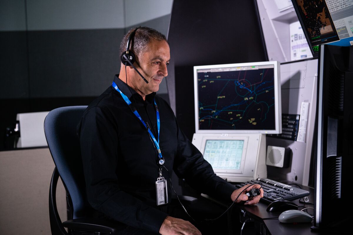
In 1998 the Extended Computer Display System (EXCDS) developed by NAV CANADA engineers was installed in Toronto. For the first time in air navigation history, paper-based flight data strips were replaced with electronic strips accessible through touchscreens. Known today as NAVCANstrips, this technology provides fast and reliable access to airport, tower and terminal air traffic control (ATC) information.

In 2004 the Completion of Northern Radar Program brought radar surveillance to 1 million sq. km of northern airspace. Aircraft are now able to fly more often at economically optimal altitudes and with fewer diversions for separation.

In 2005 the Moncton area control centre became the first in the country to transition to the NAV CANADA developed Canadian Automated Air Traffic System (CAATS). With automation, controllers are now able to concentrate more on the visual surveillance of the airport and aircraft, transmit flight data instantly and receive up-to-date notifications about construction on runways. This technology has improved safety and efficiency across Canada.

Improving safety and the ability to better respond to unexpected events like hazards, weather or emergency situations, in 2007 flights crossing Atlantic airspace began being tracked by the Canadian-designed Gander Automated Air Traffic System (GAATS), produced in partnership between the UK’s NATS and NAV CANADA.

In 2009, ground-based ADS-B (automatic dependent surveillance – broadcast) surveillance went operational over 250,000 sq. nautical miles of airspace above Hudson Bay. This expansion allows airline customers to save millions in fuel costs by enabling more fuel-efficient routings and reducing greenhouse gas emissions.
With the goal of improving safety and flight efficiencies for aircraft in oceanic airspace, in 2012 surveillance coverage was extended to 1.3 million sq. km of airspace over the North Atlantic using ADS-B and VHF radio installations in Greenland and with the aid of upgrades to GAATS.
In 2014 the national rollout of controller– pilot data link communications in domestic Canadian airspace at flight level 290 (29,000 feet and above) was completed, providing greater clarity, and significantly decreasing the risk of communications errors.

Implementation of the common hardware integration platform (CHIP) was completed in 2017, which standardized air traffic management system hosting and provided the foundation for shifting much of NAV CANADA’s air traffic management technology to the cloud.

In 2018 the new International Civil Aviation Organization (ICAO) standard for enabling simultaneous arrivals on parallel runways was implemented by NAV CANADA at Calgary International Airport. This change allowed for a reduction in aircraft noise and emissions.

NAV CANADA became the first air navigation service provider to use space-based ADS-B surveillance in domestic airspace in 2019. Satellites mounted with Aireon ADS-B receivers now offer air traffic surveillance anywhere on the planet, including remote regions ground-based surveillance systems can’t reach.

Following a successful trial, Transport Canada provided NAV CANADA with the approval to use digital air traffic service (ATS) technology at the Saint John Flight Service Station (FSS) for the provision of services to Fredericton International Airport (CYFC) in 2021. The system leverages enhanced remote camera technology that integrates into NAV CANADA’s operational display suite. This enhancement allows for the provision of aerodrome advisory services (AAS) for Fredericton International Airport from the Saint John FSS during the hours in which remote aerodrome advisory services (RAAS) were previously provided.

Looking towards the future, NAV CANADA is continuing to innovate and evolve to keep pace with the global aviation industry. With new and different types of aircraft taking to Canada’s skies in increasing numbers, the technology and ways in which we provide our services is evolving as well. The future of Canada’s air navigation services will be shaped by our customers, partners, employees, and our unwavering commitment to keeping Canada’s skies safe.