

January 15, 2021
On a cool Tuesday afternoon in February 1909, Cape Breton, Nova Scotia’s Baddeck Bay was used as the runway for the first powered flight in CanadaOpen a new window. Clear from obstacles and obstructions, the Bay’s frozen waters made for a safe aerodrome for pilot J. A. D. McCurdy’s monumental flight in the Silver DartOpen a new window.
A little over a century later, with modern aircrafts and new structures taking to the skies every day, maintaining safety in and around aerodromes and throughout Canadian airspace remains a vital element for all flights in Canada. That’s why before new structures, such as buildings or antennas, are built near airports, NAV CANADA conducts detailed land use studies to keep people on the ground and in the air safe.
“Many people are not aware of the importance of land use assessments on the safety of air navigation systems,” says Olivier Meier, Manager of Land Use at NAV CANADA. “Consulting with NAV CANADA often reveals impacts not easily detected before digging begins.”
Each year, the Company assesses more than 5,000 submissions to ensure air navigation system (ANS) safety and efficiency are not compromised by new developments or changes to land use.
“Each assessment is unique and requires input from highly trained experts in the fields of Engineering, Procedures Design, Real Estate, Legal, Site Management, and many others. Depending of the size and complexity of the project, assessment may take a few weeks or several months to complete,” adds Meier.
While NAV CANADA’s land use office reviews a wide variety of requests, here are the six most common projects:

1. Airport projects
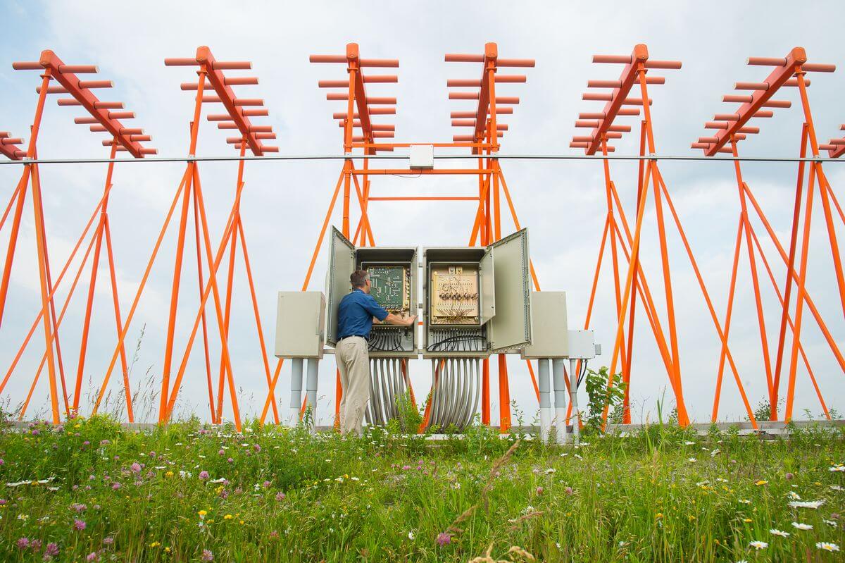
Construction at airports may impact different aspects of the ANS, affecting items such as departure and arrival procedures, ANS equipment and general NAV CANADA operations.
If an airport decides to install new fuel storage tanks on their property, for example, the metal may interfere with Instrument Landing System (ILS) signals, reducing the reliability and precision of radio signals sent to aircraft to assist with landing.

2. Power lines
Power lines can be a danger for general aviation pilots. Also, signals from power lines can impact NAV CANADA’s ANS equipment.

3. Towers
Towers are assessed for impacts to signals based on their height and location. Additionally, anything higher than 300 ft is considered a significant obstacle and needs to be published on aeronautical maps.
Some towers have solar panels and reflective surfaces that can shine sun and moon light, reducing visibility for pilots, air traffic controllers and flight service specialists.

4. Construction projects
A construction project may be a great distance away from an airport, but still impact the safety of the aerodrome. NAV CANADA has many communication, navigation, surveillance and weather equipment systems located across the country. This technology helps to facilitate enroute services through airways in the skies over Canada’s vast urban and rural areas.
A farmer planning to build a new metal silo, for example, can have as much impact as the construction of a large dwelling in an urban area. The impacts can be far ranging depending on the proximity to ANS equipment and instrument procedures. Assessments are required to ensure the safety and integrity of the ANS is not impacted.

5. Wind farms
Wind turbines, due to their size and the speed at which the blades turn, can affect instrument procedures and ANS equipment as well. As they can impact NAV CANADA’s radar systems, thorough analysis is required to ensure there will not be an impact to ANS safety.

6. Blasting
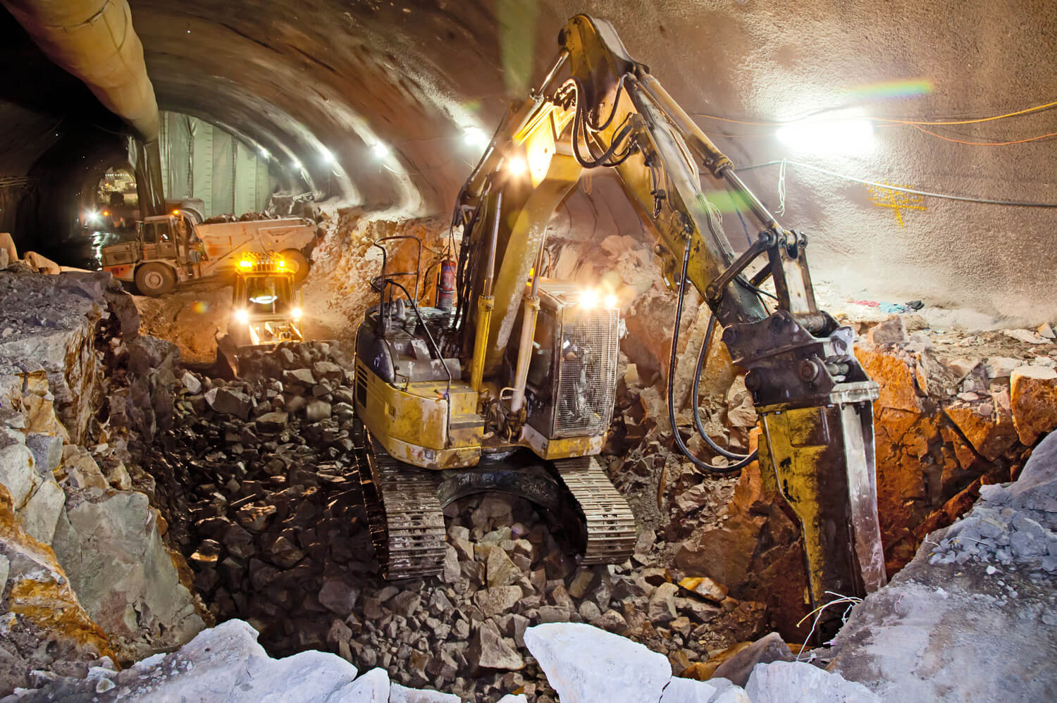
Vibrations and blast waves from explosions can impact nearby NAV CANADA equipment. Similarly, the construction vibrations from tunnelling can degrade aeronautical equipment if it is too close to airports.
For more information, visit our Land Use Program webpage.