June 11, 2021
NAV CANADA, Canada’s air navigation service provider, unveiled a new app to help manage drone traffic in Canada’s domestic airspace. Building on their industry-leading air traffic control technology and safety record, NAV Drone now provides drone pilots and operators with many of the same services and resources offered to passenger and cargo plane pilots.
“It’s all about safety and sharing information,” says Alan Chapman, Director of Remotely Piloted Aircraft System (RPAS) Traffic Management at NAV CANADA. “Whether you’re piloting a plane or a drone, when you’re flying in Canada’s skies it’s critically important to know where other aircraft are located and to respect the Canadian Aviation Regulations.”
With the Canadian commercial drone market expected to grow by more than 17 percent by 2027, NAV Drone is built to meet the current and future needs of drone pilots and operators in Canada. Users can now access real-time airspace information, such as classifications, restrictions, and NOTAMs, flight planning support to schedule and plan flights in NAV CANADA controlled airspace, and automated flight authorizations to fly in controlled airspace when safe to do so.
Quebec-based drone operator Anne-Sophie Riopel-Bouvier has been flying drones since 2014 and is frequently pushing the limits of her drones to offer new, innovative, and at times, life-saving services to municipalities, ministries, and businesses in Canada. As the co-founder of EXO Tactik, Riopel-Bouvier uses drones to do everything from surveying forests from the sky to assess their health, to capturing areal thermal images of fires to support first responders.
Riopel-Bouvier had the opportunity to test NAV Drone before its national release and says the app greatly improved the drone flight authorization process and her ability to communicate with NAV CANADA. “The system allowed us to precisely define where we needed to fly our drone. We were also able to review airspace information, so we had better situational awareness about our flight zone and surrounding area,” says Riopel-Bouvier.
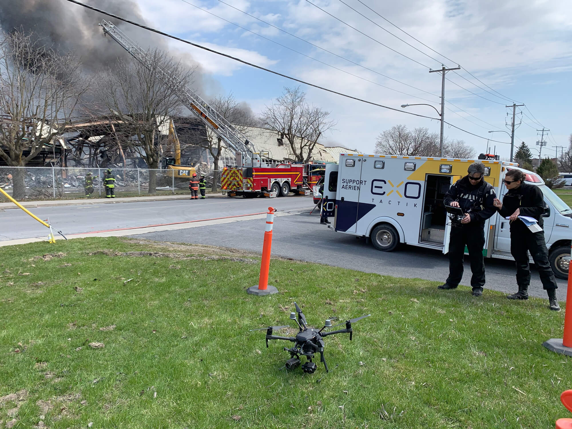
Drone pilots from EXO Tactik prepare a drone to capture aerial photos of a property damaged by fire.
Misha Herschorn, Owner and Head Pilot at First Class DronesOpen a new window, also had the opportunity to test NAV Drone and put it through the paces of his busy aerial cinematography and photography business.
When shooting content for film, TV, real estate and music videos, Herschorn says there is often a small window of time between when a client requests his services and when he needs to shoot aerial photos and videos. “Being able to have instant access to fly is very beneficial,” explains Herschorn. “It allows for the skies to be clear for your drone when in flight.”

Aerial photo of Toronto captured by First Class Drones.
NAV Drone is now available for free on the Apple App StoreOpen a new window and the Google Play StoreOpen a new window. A web version is also available on NAV CANADA’s website.